


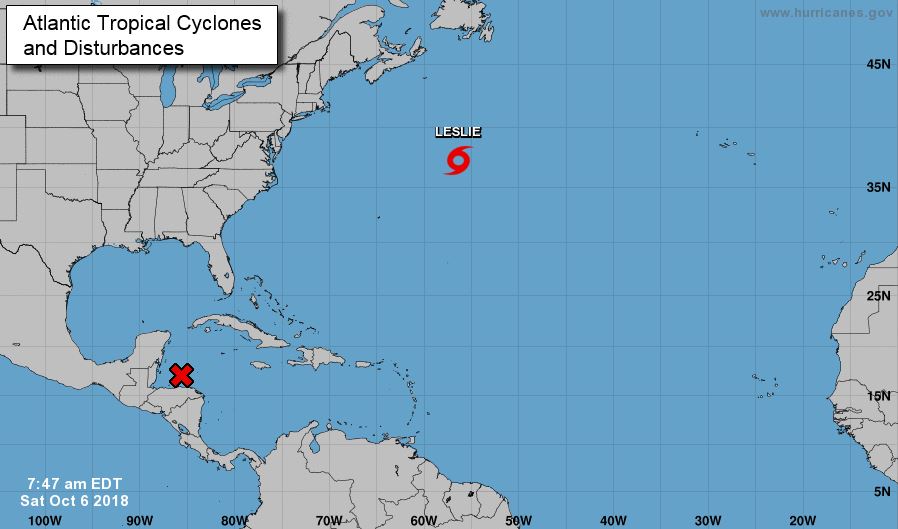
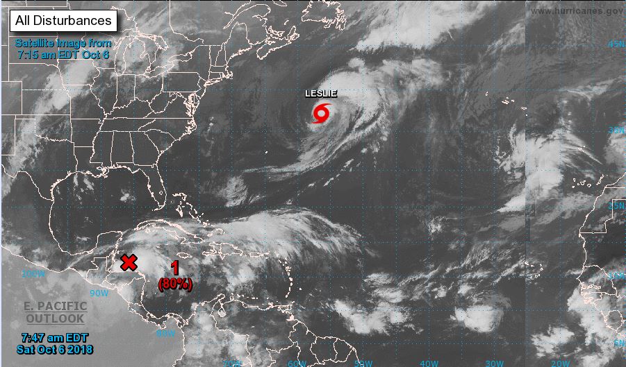
Satellite imagery, surface observations, and radar data from Belize indicate that a low-pressure system is currently centered just north of the Bay Islands of Honduras. The associated showers and thunderstorms are showing signs of cyclonic organization, although the system still lacks a well-defined circulation at this time.
A tropical depression or tropical storm is expected to form over the northwestern Caribbean Sea or the southern Gulf of Mexico by Sunday or Monday, as the system moves slowly northward.
Residents and authorities in the Yucatán Peninsula, western Cuba, and along the northern Gulf Coast should closely monitor this system in the coming days.
Regardless of whether it develops into a tropical cyclone, this disturbance is expected to continue bringing heavy rainfall to parts of Central America, the Yucatán Peninsula, and western Cuba through the upcoming week.
Source: NOAA