


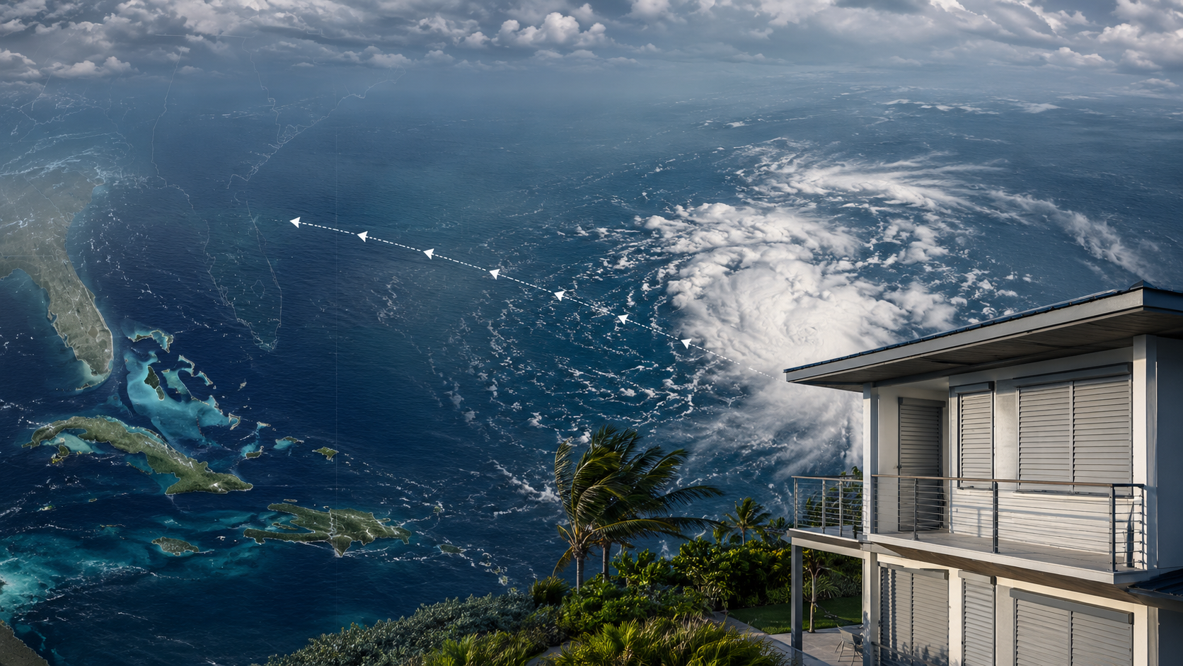
The Atlantic is showing increased tropical activity, with several areas of low pressure currently being monitored for possible development.
One system in particular, located southwest of the Cabo Verde Islands, has increased its probability of tropical cyclone formation to 60% within 48 hours and 80% within seven days, according to the latest information available.
For homeowners and property managers in hurricane-prone areas, numbers like these naturally attract attention. But an increasing probability of tropical development does not mean that a hurricane is heading toward a particular location.
At this stage, monitoring is more important than predicting.
What is currently happening in the Atlantic?
Three areas of low pressure are being monitored across the Atlantic.
The system receiving the most attention is located southwest of the Cabo Verde Islands, approximately 5,750 kilometers east-southeast of the coast of Quintana Roo. Its probability of tropical cyclone development has increased to 60% during the next 48 hours and 80% during the next seven days, while the system continues moving west-northwest.
A second area of low pressure is located northeast of Bermuda. It currently has a 40% probability of tropical development within both 48 hours and seven days and is moving eastward.
A third area has formed off the coast of Guinea-Bissau, with a 10% probability of development during the next 48 hours and 20% during the next seven days. This system is moving westward across the eastern Atlantic.
Of the three, the Cabo Verde system deserves the closest observation because of its higher probability of organization and its west-northwest movement.
However, there is currently a very large distance between identifying the possibility of tropical development and determining whether a specific community could eventually experience impacts.
Does an 80% development probability mean an 80% chance of a hurricane?
No.
This distinction is important whenever tropical activity begins increasing across the Atlantic.
An 80% probability of tropical cyclone formation within seven days means that meteorological conditions could allow the disturbance to organize into a tropical depression or tropical storm during that period.
It does not mean there is an 80% probability that the system will become a hurricane, nor does it mean there is an 80% probability that it will affect Florida, the Caribbean, Mexico or any other specific location.
Tropical systems can strengthen, weaken, change direction or encounter atmospheric conditions that substantially alter their development.
This is why official forecasts should be followed as the system evolves rather than relying on a single model image or an early projected path.
Why watch a system when it is still thousands of kilometers away?
Because hurricane preparedness works best before a storm becomes an immediate threat.
When a tropical disturbance is still far out in the Atlantic, there may be considerable uncertainty about its future. For most homeowners, this is not the moment to assume a storm will arrive.
It is, however, a good moment to verify that a hurricane preparedness plan is actually ready.
That distinction matters.
Waiting until watches or warnings are issued can mean preparing at the same time as thousands of other homeowners. Supplies become harder to find, schedules become tighter and decisions that could have been made calmly suddenly become urgent.
Early awareness creates time.
What should homeowners be checking now?
There is no need to treat every tropical disturbance as an approaching hurricane. Instead, periods of increased Atlantic activity can serve as practical reminders to review the parts of a property that would become important if conditions eventually changed.
Homeowners can verify whether their hurricane protection systems are operational and accessible, review how windows and doors will be protected, check exterior areas for objects that could become windborne debris and make sure everyone in the household understands the property's hurricane plan.
For homes equipped with hurricane shutters or other opening-protection systems, this is also a useful opportunity to confirm that the components required for installation are available and functioning properly.
The objective is not to prepare for one specific storm.
The objective is to avoid discovering a problem when a storm is already approaching.
Why windows and doors matter during high-wind events
When hurricane-force winds affect a property, windows, doors and other building openings become particularly important components of the building envelope.
Windborne debris can strike exposed glass and openings, while pressure changes around a structure can place additional loads on different parts of the building.
For this reason, hurricane protection is not simply about covering a window at the last minute. It is part of a broader strategy for protecting vulnerable openings before severe weather arrives.
At Stormcatcher, this principle is central to how we think about hurricane preparedness: protection should be planned before the forecast creates urgency.
Monitoring is not the same as sounding an alarm
One of the most important habits during hurricane season is learning to separate awareness from alarm.
A tropical wave crossing the Atlantic does not automatically represent a threat to your property.
A high probability of tropical cyclone formation does not automatically indicate landfall.
And a model showing a possible future path is not the same thing as an official forecast.
What matters is how the information changes over time.
As meteorologists collect additional satellite observations and atmospheric data, forecasts can become more precise. That is why homeowners should prioritize updates from official meteorological and emergency-management authorities rather than isolated maps or social media speculation.
When should hurricane preparation actually begin?
The best hurricane preparation starts long before a storm receives a name.
Permanent improvements to a property's hurricane protection should ideally be evaluated outside the urgency of an approaching system. That gives homeowners time to understand their options, evaluate vulnerable openings and choose solutions appropriate for the property.
When the Atlantic becomes active, the focus should shift from “What should I buy?” to “Is everything already ready if I need it?”
That is a much stronger position to be in during hurricane season.
What happens next with the Atlantic systems?
The areas currently being monitored will continue evolving, and their probabilities, organization and projected movement may change substantially over the coming days.
The disturbance southwest of Cabo Verde currently deserves particular attention because its probability of tropical cyclone development has increased. But its eventual intensity and long-term path cannot be determined from the development probability alone.
For that reason, Stormcatcher recommends following information from official meteorological and emergency-management authorities as new advisories become available.
For residents in hurricane-prone regions, the message at this stage is simple:
Stay informed. Review your preparedness plan. Make sure your property's hurricane protection is ready. And allow official forecasts—not speculation—to determine your next steps.
Frequently Asked Questions
Is the system southwest of Cabo Verde currently a hurricane?
No. The information currently available describes an area of low pressure being monitored for possible tropical cyclone development. A probability of development does not mean the system is already a tropical storm or hurricane.
Does an 80% probability of development mean the system will make landfall?
No. Formation probability describes the likelihood that a tropical cyclone will develop within a specified period. It does not predict whether the system will make landfall at a particular location.
Should homeowners prepare even when a tropical system is far away?
Hurricane preparedness should ideally already be in place before a specific storm threatens an area. Early periods of tropical activity are useful opportunities to inspect protection systems, review plans and address problems without the pressure of an approaching storm.
Where should I follow tropical weather updates?
Use official meteorological and emergency-management sources. Forecasts and development probabilities can change as new information becomes available.
Prepare before preparation becomes urgent
Hurricane season can include many systems that never affect your area. The purpose of monitoring them is not to worry about every disturbance crossing the Atlantic.
It is to remain aware enough that, when a genuine threat does develop, your property is already prepared.
Stormcatcher helps homeowners protect vulnerable openings with hurricane protection solutions designed for severe-weather conditions. Explore your hurricane protection options before the next forecast turns preparation into a race against time.
Weather information in this article reflects conditions reported at the time of publication and may change. Always consult official meteorological and emergency-management authorities for current forecasts, watches, warnings and evacuation information.