Tag: <span>huracanes</span>

12-14 storms forecast for Hurricane Season 2019

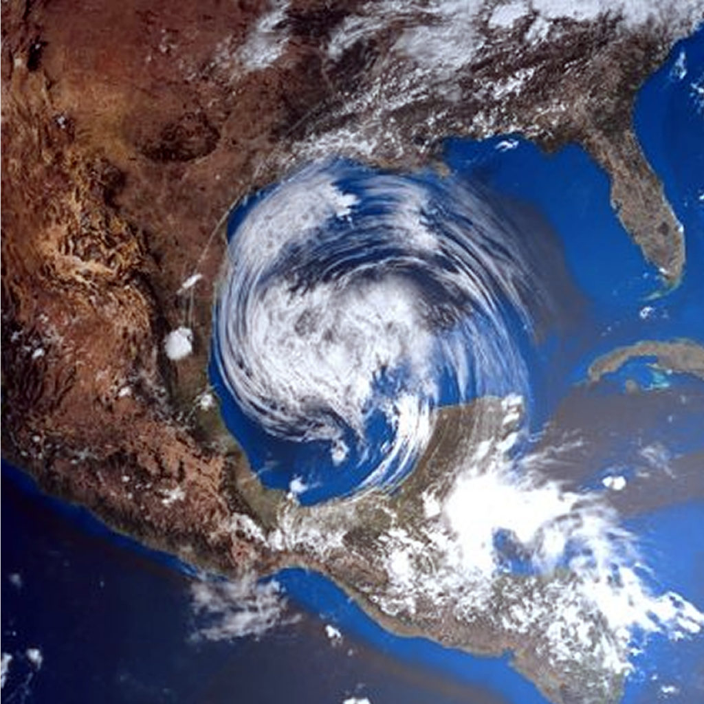
The density map of the above tropical trajectory was created by analyzing analog years, which are past years that have weather patterns similar to current and projected weather patterns. Analogous years are often used to predict future trends and impacts during a hurricane season. They can be based solely on the El Niño phenomenon or on a combination of weather patterns and teleconnections, which are weather patterns that occur in another part of the world and that can significantly influence current or future weather in a particular area of ​​concern.

After experiencing an active Atlantic hurricane season last year, AccuWeather's group of experts predicts that 2019 will be a slightly higher than normal season with a total of 12 to 14 storms.

Of those storms, five to seven are forecast to become hurricanes, and two to four are expected to be category three or more hurricanes.

"This year, we believe there will be fewer tropical storms and fewer hurricanes, but it only takes one to cause significant damage," said AccuWeather hurricane expert Dan Kottlowski.

After Hurricanes Michael and Florence hit the US USA Last year, the expert points out that history could repeat itself with the impact of between two to four atmospheric phenomena in the region.

To help predict the upcoming season, forecasters have drawn comparisons to previous years with comparable weather conditions, also known as analog years.

In this case, due to its similarity, the year analogous to the current pattern is 1969.

During that season, Hurricane Camille impacted the Mobile, Alabama region, making it one of only three Category 5 hurricanes to have impacted the United States.

But that doesn't mean we experience something similar this year, Kottlowski said.

At the beginning of the season, however, AccuWeather meteorologists will be monitoring development potential on the southeast coast, the Gulf of Mexico and the Caribbean.

"Those are the areas that we will monitor very closely, not only from June, but from April to May, since the Atlantic temperatures are high," said the expert.

THE HURRICANE SEASON IN THE ATLANTIC OFFICIALLY STARTS JUNE 1

If this [El Niño] pattern continues or strengthens, then the number of tropical storms and hurricanes will be near or below normal, "said Kottlowski. "If El Niño weakens and becomes neutral, the number of tropical storms and hurricanes could be higher than normal," he added.

source: AccuWeather

THE WORST CYCLONE IN INDIA LEAVES AT LEAST 3 DEAD (video)

Cyclone Fani is considered the most powerful in the past 53 years.

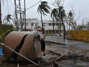
INDIA.- This cyclone Fani, considered the most powerful cyclone that has rocked India in the last 43 years , reached the east coast near the city Puri (Odisha state), leaving at least three dead, they report local media.

According to RT, the phenomenon has uprooted hundreds of trees in its path, causing serious damage to energy infrastructure and homes. According to the media The Hindu, storm winds already reach 175 kilometers per hour.

Watch the AWESOME video! Click -> Here

At least 10,000 villages and 52 cities in nine districts will be affected by the meteorological phenomenon , according to data from the Odisha Government, which has advised the population to stay inside their homes on the day of this Friday.

Airports located on the cyclone route are being closed, while flight operations from Odisha's capital Bhubaneswar airport have been suspended since midnight on Thursday.


source: SIPSE.COM

MEXICAN AUTHORITIES DECLARE READY TO FACE HURRICANE SEASON 2019

This Thursday a simulation was carried out at Cenapred on the hypothesis of a category 5 hurricane off the coast of Guerrero; the rainy and cyclone season begins on May 15.


As a successful, formative and confidence-building exercise, the head of the Civil Protection National Coordination, David León Romero, described the drill carried out this Thursday at the National Center for Disaster Prevention ( Cenapred ), on the hypothesis of a Category 5 hurricane on the coasts of Guerrero.

In this way, the National Emergency Committee declared itself ready to face the rainy and hurricane season that begins on May 15 and concludes on November 30 in the country.

In the simulation of the supposed hurricane "Viridiana", which lasted 3 hours and 40 minutes, 52 specialists from 38 agencies participated in the processing of information, analysis, decision-making and creation of solutions

During the civil protection exercise, two damage assessment and needs analysis reports were issued, two links with the National Center for Communication and Emergencies, and 36 messages were prepared for the coordination of actions.

" During this drill, we particularly had some scenarios of river overflow, collapse of some structures, floods, evacuations in buildings, particularly health, road closures due to bridge collapses, that is, different scenarios that my colleagues and I had to be solving throughout those minutes to be able to provide answers to this table and with it to be able to measure the response capacity of these institutions ”, explained David León Romero.

Autoridades se declaran listas para afrontar temporada de huracanes

The head of the National Coordination of Civil Protection highlighted that some areas of opportunity they found to improve care are the use of new technologies for handling and processing information in real time with greater agility and strengthening the communication protocol with the media to avoid rumors or false news on social networks.

He recalled that hydrometeorological phenomena consume 80% of the budget allocated to emergency care, since just last year 214 events were registered, of which 41 were tropical cyclones and of them, 6 touched the country.

source: Excelsior

10 MOST COMMON ERRORS COMMITTED IN THE FACE OF A HURRICANE

  • Believe it won't happen . It is necessary to follow the instructions of those who are in control of the situation and periodically review the official communications issued by the relevant local authorities.
  • Put adhesive tape on sales. This will not prevent the glass from falling apart at all, the fragments represent a danger to the safety of people inside the property; It is recommended to cover the doors and windows with material resistant to sustained winds of 300 km / h or higher.
  • Place blocks or sandbags at the entrance of the door to prevent the entry of water. These only help divert the water.
  • Believing that those who live on the coast are the only ones who should evacuate. In the vast majority of times when it comes to hurricanes category 3 and up, you have to follow the instructions of the local authorities and not do Ignore their recommendations. IT'S FOR YOUR OWN SAFETY!
  • Open doors or windows a little bit. Hurricane winds are extremely turbulent and powerful so an open window or door (even if it's at the back of the house) can be a perfect space for the entry of the hot air that can incur this ( Video click ) as well as the entrance of debris transported by the wind.
  • Do the "Panic Shopping". For this it is important to be attentive to the media and to carry out our preparation. Normally we have up to more than 1 week to prepare and not leave everything At the last minute!
  • Placing wood (plywood) on doors and / or windows. As much as you believe that wood is the right thing to protect your home or business, you are in big error. Since hurricanes very easily tend to throw objects in the wind, such as trunks, metal sheets, spectacular, etc. Which become high speed projectiles that easily pierce the wood (plywood) or the wood (plywood) is pulled out. The key is anchoring and resistance to protect yourself properly.
  • Not having an Emergency Kit. It is essential to have the basic kit as well as having the protection of the documents that you consider important, it is recommended to have them in a bag and protect in an easily accessible waterproof backpack.
  • Do not cut off the electricity and butane gas supply. At the time that the local authorities give notice of Orange Alert (set when a tropical cyclone has approached such a distance that it predicts the imminent impact of the wind line). You must take the precaution of turning off the electrical box (it supplies electrical current to the home and / or business) as well as closing the stopcock from butane gas.
  • Get out of your shelter without prior notice from local authorities. You repeatedly make the mistake of leaving when you think the hurricane is over, and don't be careful! it is very likely that if you perceive a calm or “end” of the hurricane at that precise moment you will find yourself in the EYE OF THE HURRICANE . It is necessary to be attentive to the indications of the jurisdiction of your locality.


WARNING RISK OF IMPACT OF A HURRICANE IN YUCATÁN

Specialists affirm that the risk increases since a system has not reached Yucatan for a long time; will be two Atlantic cyclones that are category three or greater

According to specialists on the subject, the hurricane season in the Atlantic would be within normal standards for this year, although it was specified that several forecasts are still missing to be presented in the coming months, so that Yucatan must be aware of the reports.

According to specialists on the subject, the hurricane season in the Atlantic would be within normal standards for this year, although it was specified that several forecasts are still missing to be presented in the coming months, so that Yucatan must be aware of the reports.

  • 13 Cyclones
  • 8 Tropical Storms
  • 3 Moderate hurricanes between categories 1 and 2
  • 2 intense hurricanes categories 3 or greater

Although it is unknown when and where they would form.

Likewise, it was reported that there will be more forecasts in the months of June and July and one more at the end of August, although everything indicates that when El Niño ends, this could give way to cyclonic systems at sea Atlantic, so Yucatan must be pending.

Last year, 15 tropical systems were formed in the Atlantic, of which at least two, "Flourish" and "Michael", caused severe damage in the United States, resulting in the season was cataloged as catastrophic, according to specialists.

Likewise, it was mentioned that in the case of Yucatan, THE RISK OF AN IMPACT OF A HURRICANE IS GREATER BECAUSE FOR SEVERAL YEARS AGO, A SYSTEM DID NOT REACH THE ENTITY; THE LAST ONE WAS “Isidoro” IN 2002, WHILE “Dean” DID HIS OWN IN 2007 AT THE PENINSULAR LEVEL.

Fuente: la verdadnoticias.com

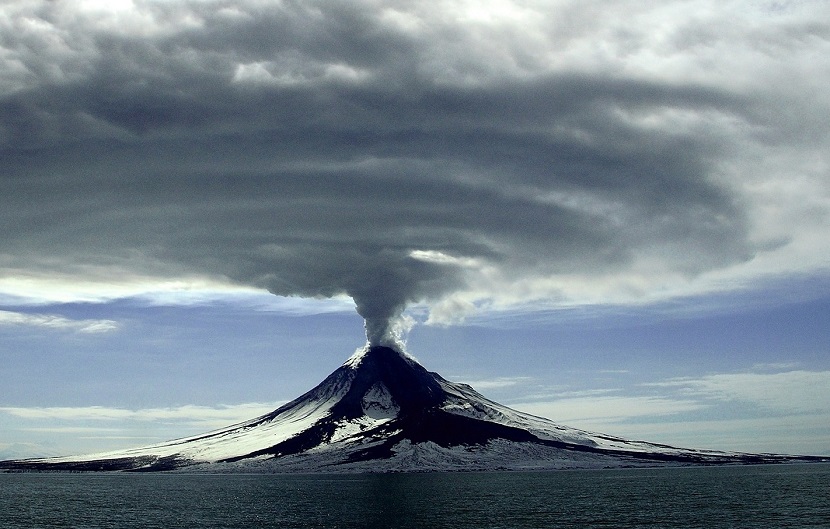
DISCOVER THE CAUSE OF THE LINK BETWEEN VOLCANIC ERUPTIONS AND HURRICANES

Now for the first time, scientists have explained how volcanic eruptions can influence hurricane formation.

Investigating this mechanism has so far been complicated, because in the era of sophisticated monitoring equipment, the largest volcanic eruptions have coincided with periods from El Niño-Southern Oscillation , which caused more hurricanes.

To solve this lack of data, scientists used detailed computer models to observe large numbers of eruption events that could affect hurricane formation around the world. These models found can influence the Intensity of hurricanes and their Frequency .

"This is the first study that explains the mechanism of how major volcanic eruptions influence hurricanes worldwide", said one of the researchers Suzana Camargo of Columbia University in New York.

The ITCZ ​​ plays an important role in the frequency and strength of Thunderstorms , which is where the link between Volcanoes and Hurricanes comes into play. The team of researchers found that these effects can be felt up to four years later.

As the world heats up, we need as much information as possible to understand how all of these meteorological events combine.

Predicting hurricanes is still a notoriously complicated business, with an almost infinite number of contributing factors involved. What we do know is that those huge storms can have a significant impact on people, animals, and property on their way.

The research has been published in PNAS .

source: Cerebro Digital.

en_USEN